Text and photos by Anthony Kaduck. Photos copyright 2021
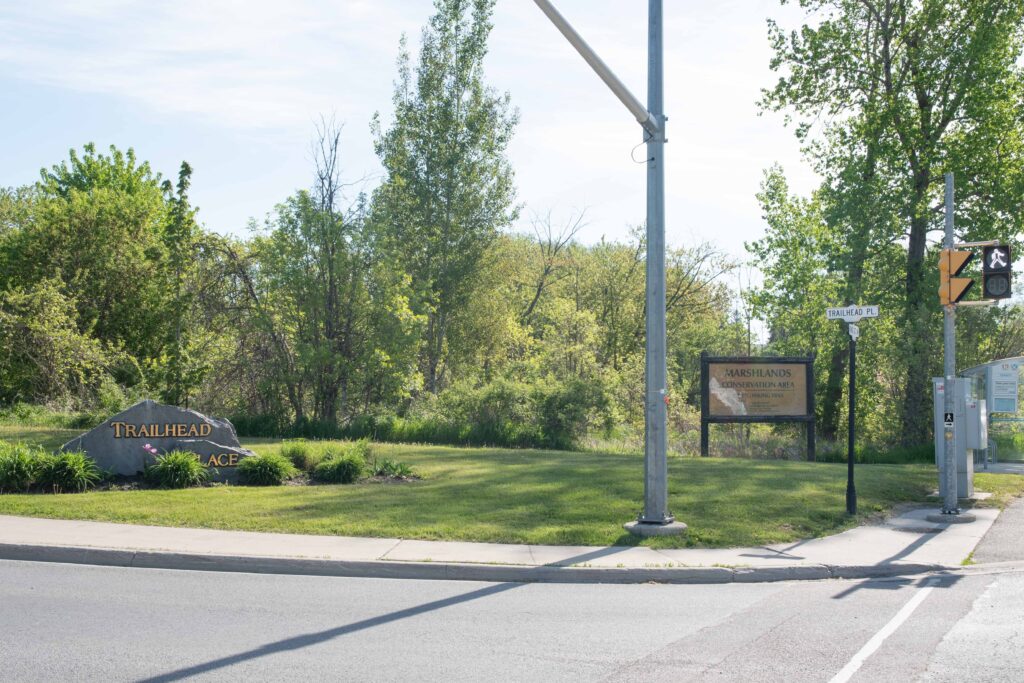
Marshlands Conservation Area, AKA the Trailhead, is one of the best sites within the Kingston area for birding. It offers something of interest at all times of the year, but is best known as a hotspot for warblers, vireos and thrushes during spring migration.
Key Details
- Location: 1214 Trailhead Place (just off of Front Road), Kingston, K7M 3E8
- Transit stop: Trailhead Place
- eBird Hotspot: https://ebird.org/canada/hotspot/L1906248
- Managed by: Cataraqui Region Conservation Authority
- Admission charge: None
- Parking fee: None
- Facilities: None
- Accessibility: Poor – not suitable for wheelchairs
- Trails: Narrow with soft and uneven surfaces, exposed roots and culverts, often muddy, can be rough in winter. The full loop visit requires walking down rail tracks
- Habitat: Deciduous forest, pine forest, scrub, marshes, and a large freshwater bay
- Users: Birders and photographers, and also used by a few families, dog walkers and runners. Cyclists are few and far between. Generally a quiet site compared to (e.g.) Lemoine Point
- Best time to visit: Early mornings in late April and May
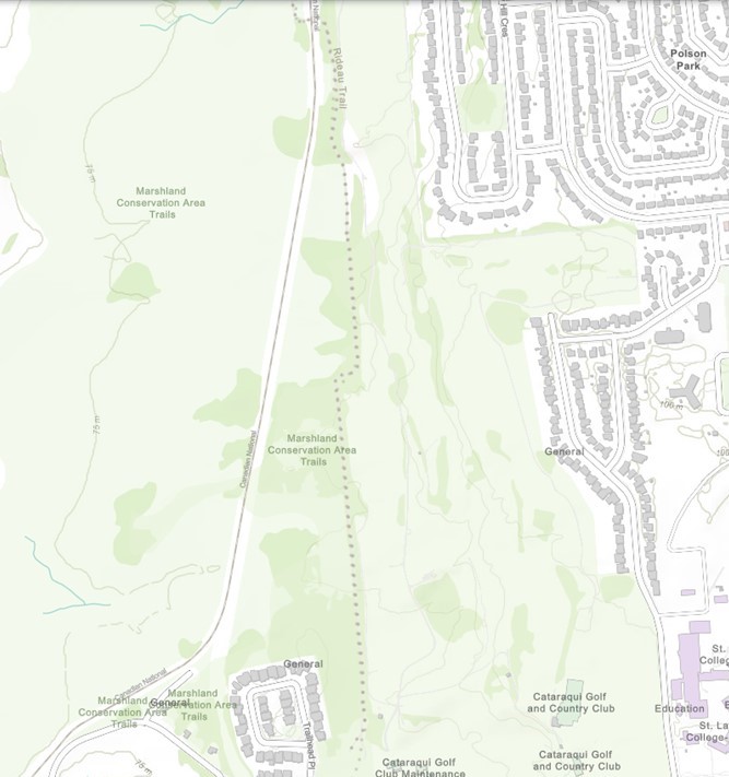
- Trail map: An overview map is below. A full trail map is downloadable from the CRCA website at this link
Site Guide
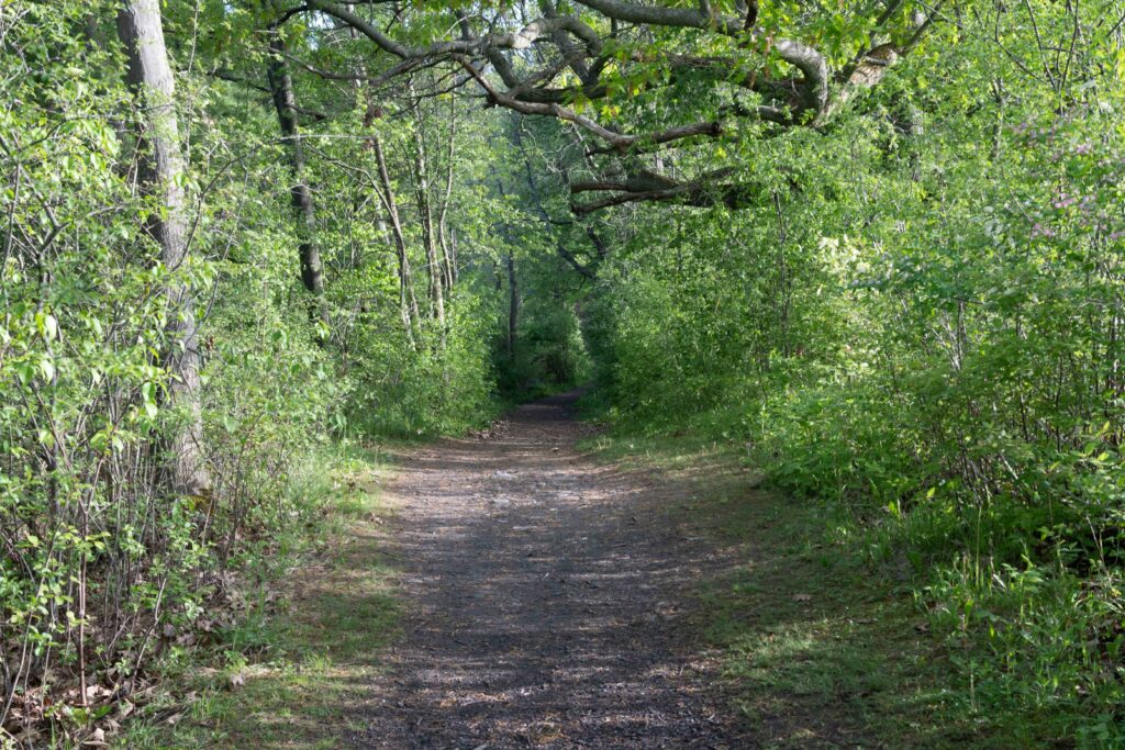
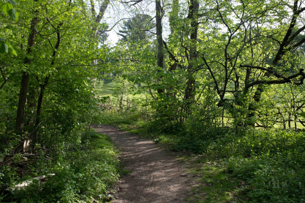
A visit to Marshlands is an immersive experience. The relatively narrow trails mean that you are not viewing the habitat at a distance – you are surrounded by it. So a deliberate, slow-moving approach, stopping often to check all the surrounding bushes, trees, and scrub, will reap the greatest rewards.
Marshlands comprises one main trail with a number of side trails branching off. The two main options for birding the area are an out-and-back, from the parking lot to the boardwalk and return, and a loop that continues over the boardwalk and returns down the railway spur to the parking lot. Each of these trail options involves a walk of about 2-3km depending on the number of side trails explored.
The best time to visit Marshlands is an early morning in late April or May, and this guide is mainly focused on that time period.
Starting Out
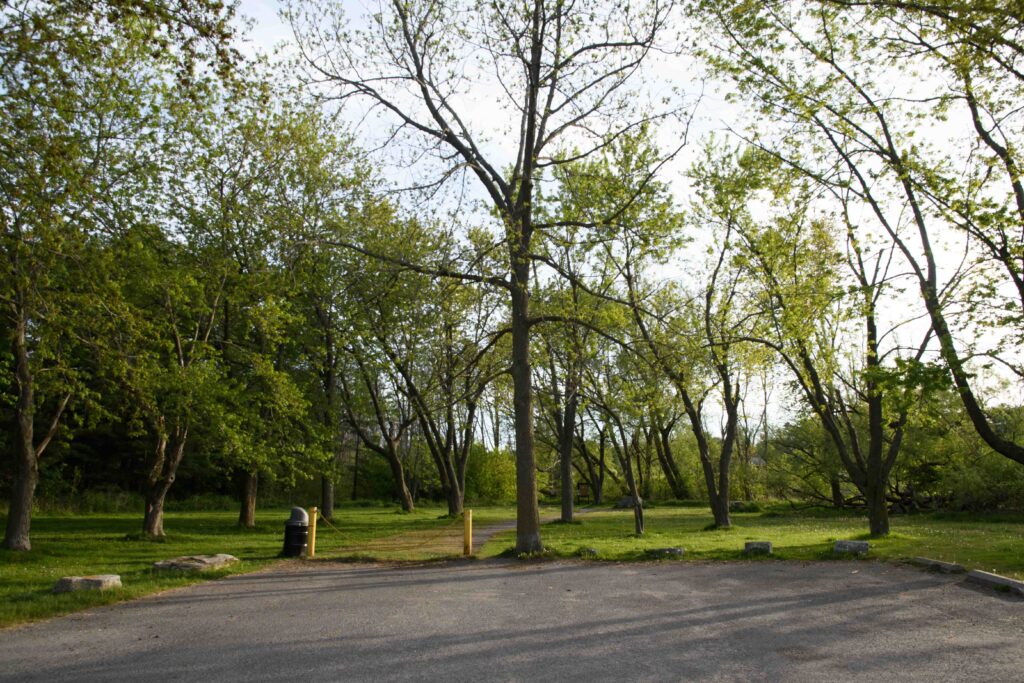
At all times, and especially during migration season, your first step should be to thoroughly scan the area around the parking lot. The tall deciduous trees hold Downy Woodpeckers, Black-capped Chickadees and White-breasted Nuthatches in all seasons, and in May you can often see five to ten species of warblers and/or vireos. The scrubby bushes around the parking lot are home to Song Sparrows and (in season) Yellow Warblers. Northern Cardinals patrol the area, and there are usually European Starlings, Blue Jays and American Crows in the vicinity. The small marsh at the south end holds a few Red-winged Blackbirds from April to October. The pine woods on the west side of the parking lot seem to be popular with White-throated Sparrows and Ruby-crowned Kinglets as they pass through. Listen for the explosive song of Northern House Wrens, who have for several years nested in the large old tree to your right at the start of the trail.
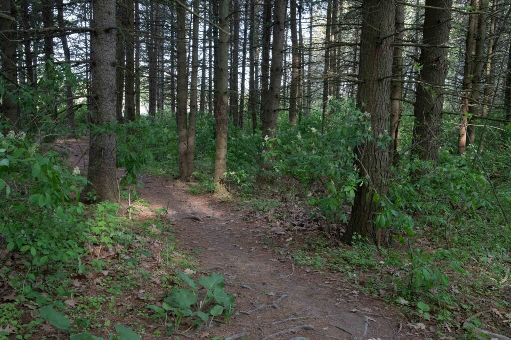
The Ash Forest
Starting down the trail, on your left is a the remnant of what was once a tall stand of Ash trees before the Emerald Ash Borer came to town. While these trees still stand they should be checked for migrants. In the winter a band of hardy American Goldfinches hangs out here.
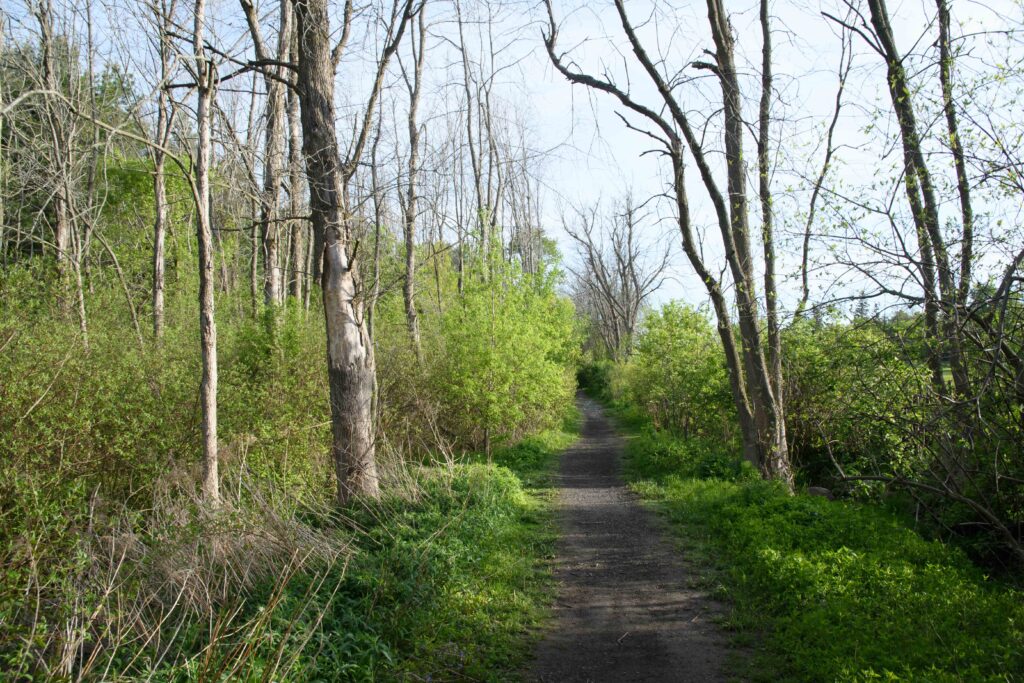
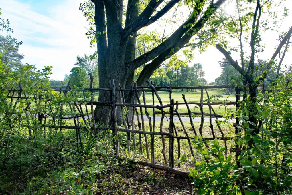
On your right is a hedge that separates the conservation area from the golf course. This hedge, and the wet ditch beside it, will be your right boundary up to the boardwalk. It is popular with sparrows of all kinds, and some of the lower-altitude warblers like to hang out in the shrubs along the hedge. Stay alert for Black-throated Blue and Magnolia Warblers as well as American Redstarts and the ubiquitous Yellow Warbler. Black-and-White Warblers can be found on the larger trees on both sides.
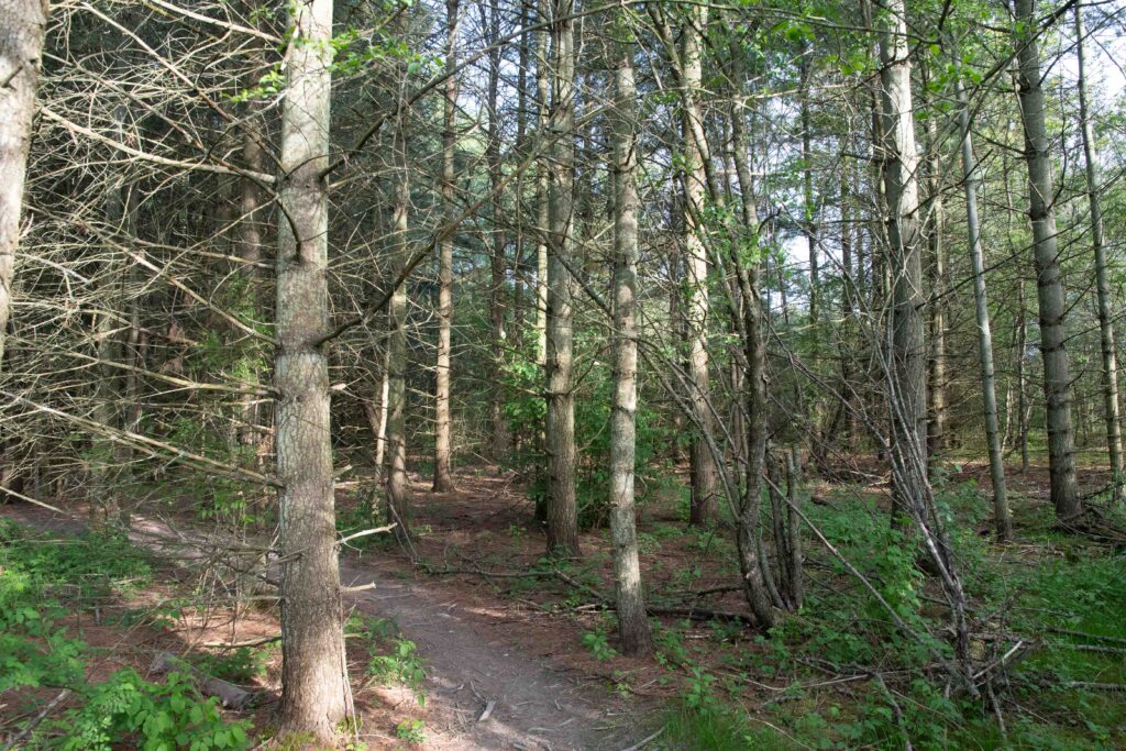
Pine Plantation and Warbler Alley
After about 200m the Ash forest on the left will be replaced by a pine plantation. This stand of pines is not particularly birdy, though Ovenbirds seem to like it. An assiduous search might turn up a roosting Great Horned Owl.
A hundred metres or so later the pine forest recedes and you enter a tunnel of scrub and tall saplings with a few large trees interspersed. This is one of the prime areas of the site for warbler-watching, with Palm, Black-throated Green, Blackburnian, Nashville, Chestnut-sided, Cape May, Bay-breasted and Yellow-rumped (Myrtle) warblers being regular visitors. In the background you will probably hear the “whichety” song of the Common Yellowthroat. Stay alert for less common species such as Golden-winged, Orange-crowned, Canada and Blue-winged Warblers, as well as the late-migrating Blackpolls.
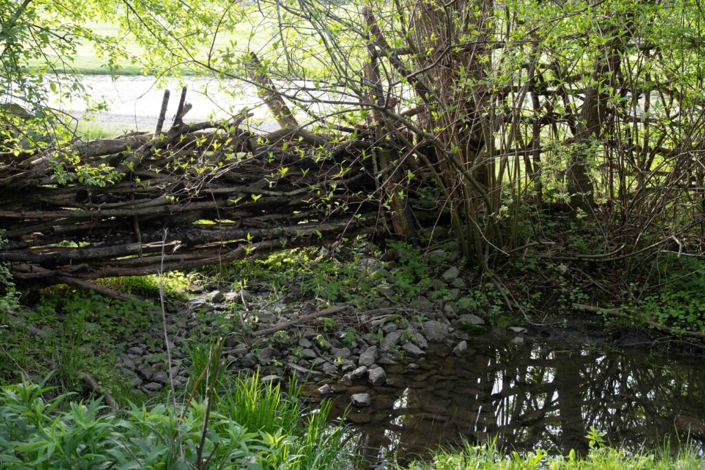
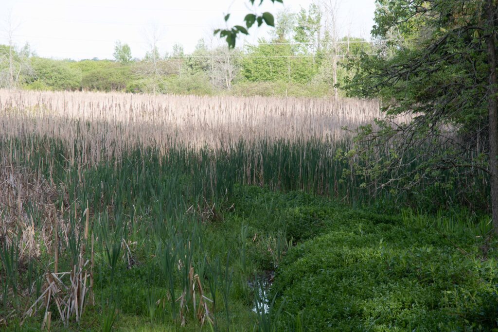
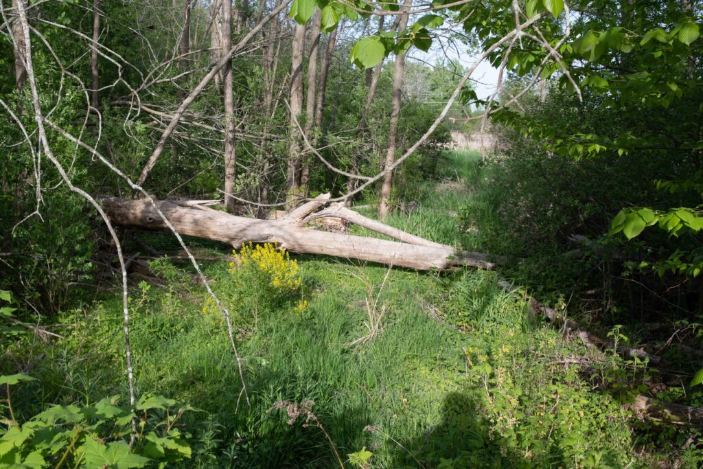
After Warbler Alley the path heads downhill. At the bottom is a gully with a small stream that rarely freezes even in a cold winter. Hermit Thrushes have been known to overwinter here. You will see a patch of reedbed to the west – listen for the buzzing song of the Swamp Sparrow.
After this dip the path heads upwards and the pine forest returns on your right side. This stretch of forest is particularly attractive to migrating thrushes, and there is a good chance of seeing Hermit and Swainson’s Thrushes, and hearing and possibly catching a glimpse of a Wood Thrush. Grey-cheeked Thrushes are uncommon but a few are spotted every year.
The Dogleg
At about the 700m mark the trail makes an obvious dogleg to the right. There is usually bird activity in this area: check the dead trees for Hairy and Pileated Woodpeckers, listen for House Wrens, Grey Catbirds and nuthatches, and check the taller trees for flycatchers, vireos and warblers. Just after the dogleg there is a wet gully which is one of the likelier spots to see the elusive Winter Wren.
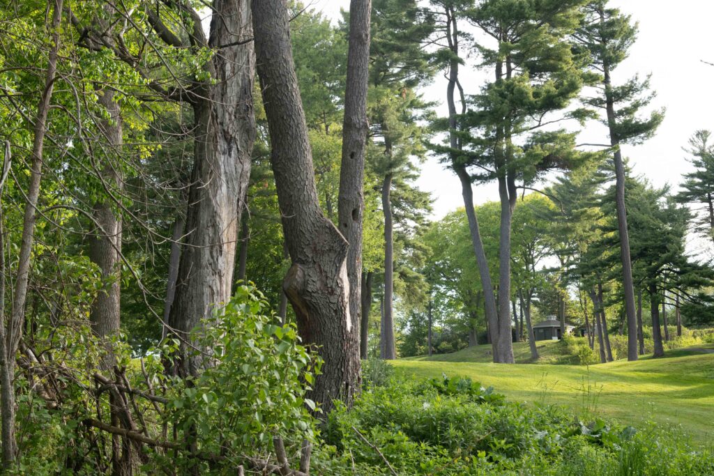
Continue down the trail looking for thrushes on your left and warblers above and to the right. As you reach higher ground there is a stand of large pines on the golf course which often host breeding Pine Warblers. Northern Flickers can be found anywhere in the forested areas but they seem to especially like this part of the trail.
Approaching the Boardwalk
Eventually the south end of the boardwalk will come into view. Look for an obvious trail through the pine forest to your left – it leads to a spot where you can view another section of reedbed. Listen for Swamp Sparrows and (with luck) the grunting of a Virginia Rail. This viewpoint also looks out onto the prison grounds, and you may see Northern Harriers of even a Bald Eagle in the distance.
Returning to the main trail, it is important to take the last 30 metres to the boardwalk slowly and carefully, as this is a particularly good area for birds such as Northern Waterthrush and Fox Sparrow. It’s also one of the likelier spots to get a close look at a foraging Swamp Sparrow. Listen here as well for Virginia Rail.
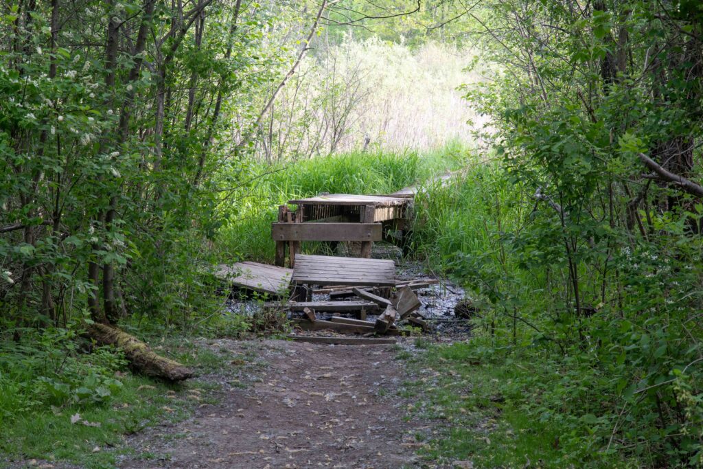
The Boardwalk and Reedbed
If you are doing the out-and-back route this is your turnaround point. To complete the loop route you will face the problem of the boardwalk. This is in poor condition and deteriorating rapidly, so the CRCA has sensibly closed it – they even cut down the first section to reinforce the point. Though birders, runners, and walkers continue to cross, it wont be long before a section of the boardwalk collapses and someone suffers a serious injury. So we do not recommend crossing it until it is repaired.
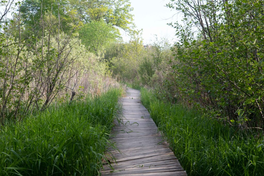
When it is again available, the loop route will take you across the boardwalk, pausing to look for anything of interest amid the myriad Red-winged Blackbirds and Common Grackles. If you are lucky enough to catch a glimpse of a skulking Virginia Rail it will most likely be here, and if you are exceptionally lucky you may get something more special. In 2021 Richard Lott had a close-up view of an American Bittern eating a snake, and on rare occasions a Least Bittern makes a brief appearance.
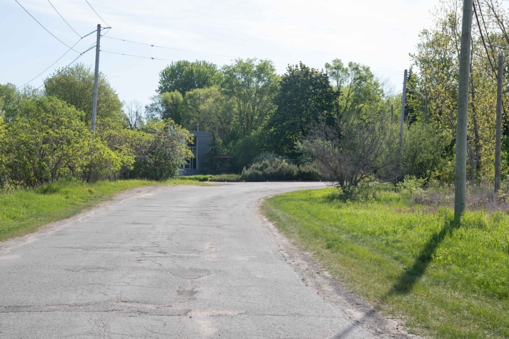
The next section of the loop trail runs through a section of scrub that seems to interest only Chickadees and Robins. After a short and often muddy walk through this section you arrive at the railway. If you came by transit you could choose to cross the railway and continue northwards. The trail will re-cross the railway and lead you onto Greenview Drive, which ends at Queen Mary Road. There are bus stops a short distance away in both directions. Otherwise take a left turn and start down the railway.
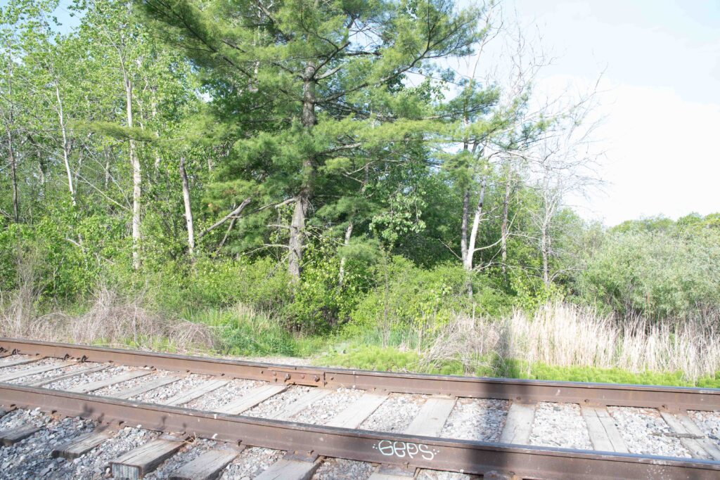
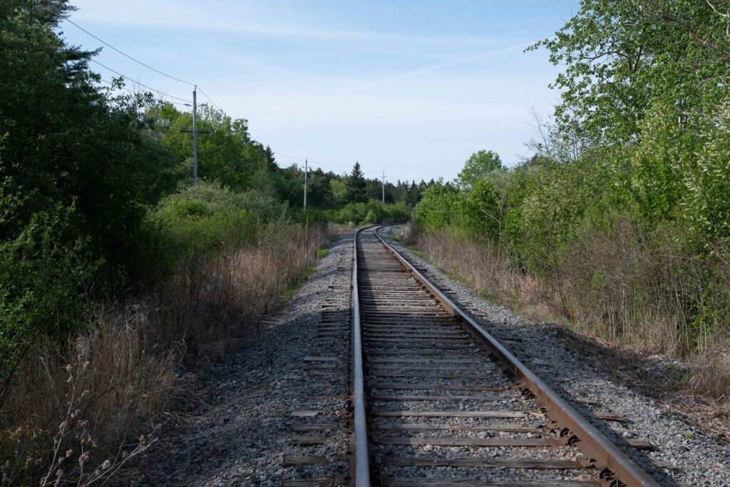
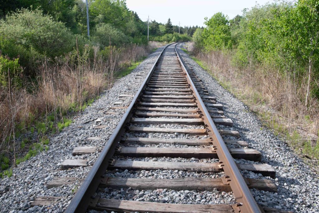
The Railway
This section of rail line is not a busy one – it is a spur line that leads to the Invista plant and the few trains that use it travel slowly. So as long as you remain alert there is no particular risk.
The tracks are not all that well-maintained and the walk over this section is rough and tedious. Outside of migration season it is not really worth doing, but during migration it can be a good area to see flycatchers, grosbeaks and catbirds as well as a host of Song Sparrows in the bushes and Swamp Sparrows in the marshes. Marsh Wrens breed in the southern stretches of these marshes, though you will need to listen carefully to hear their songs above the din of traffic and blackbirds.
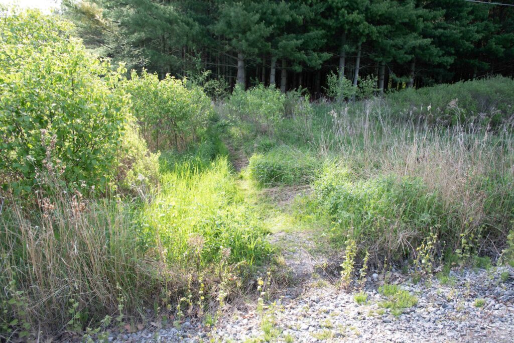
If you decide you want to get out of the sun and wind, an obvious path to the left will take back you through the Pine Plantation to the main trail.
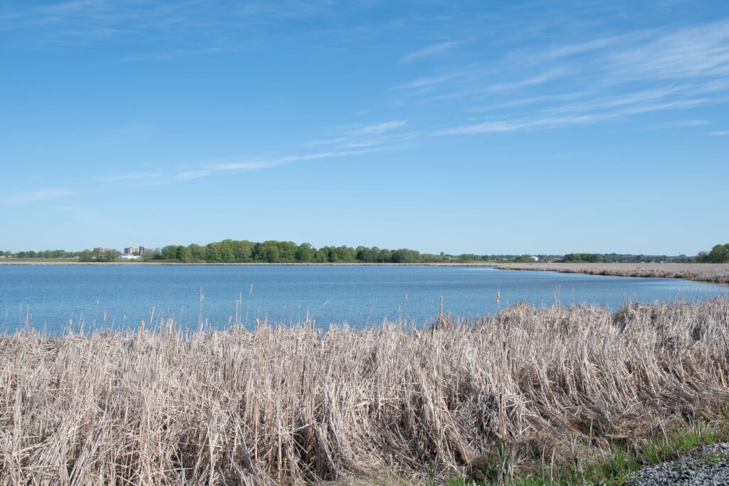
As you reach the southern end a large bay will appear on your right. This is the final stretch of the Little Cataraqui Creek and large numbers of waterfowl use this bay as a staging area. From October to December Tundra Swans are common, and most of the migrating ducks can be seen from October to November and March to April.
Heading Home
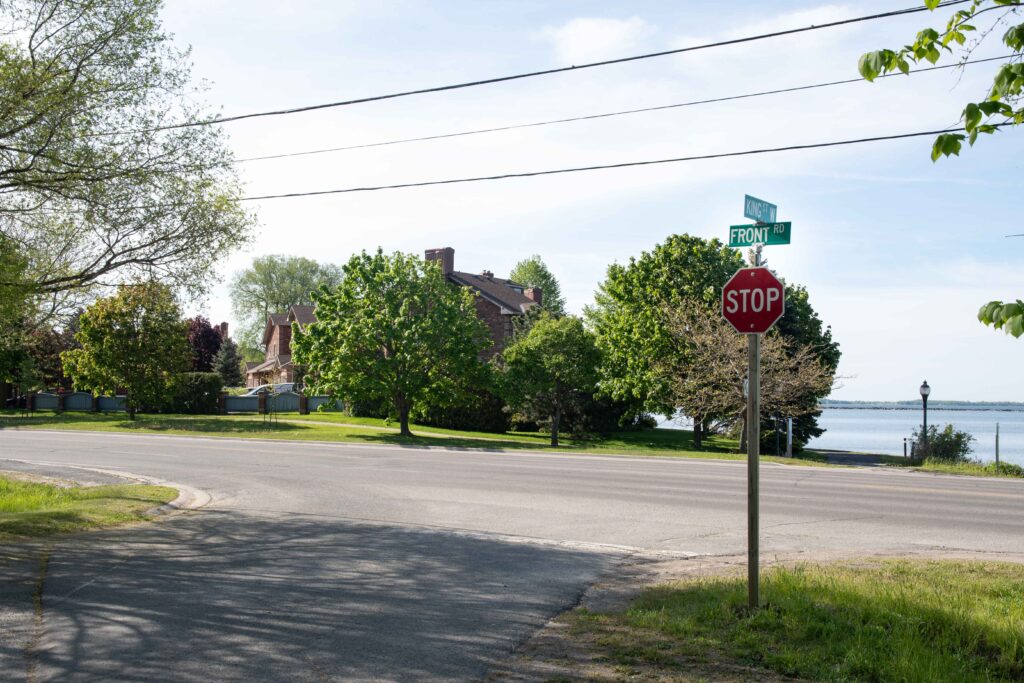
As you approach Front Road you will spy a path leading to your left. This takes you to King Street West, which you follow past a few houses until it ends at Front Street. Take the sidewalk east along Front Street and you will arrive back at your starting point.
A note for eBird Users
To ensure that the data remains useful to researchers the convention is to restrict your reporting on your Marshlands CA checklist to birds seen in the inner bay (i.e. north of the causeway). The large outer bay south of the causeway is best reported under Kingston–Cataraqui Bay (centre and west side) and Kingston–Elevator Bay (the bay between the pier and Lake Ontario Park).
